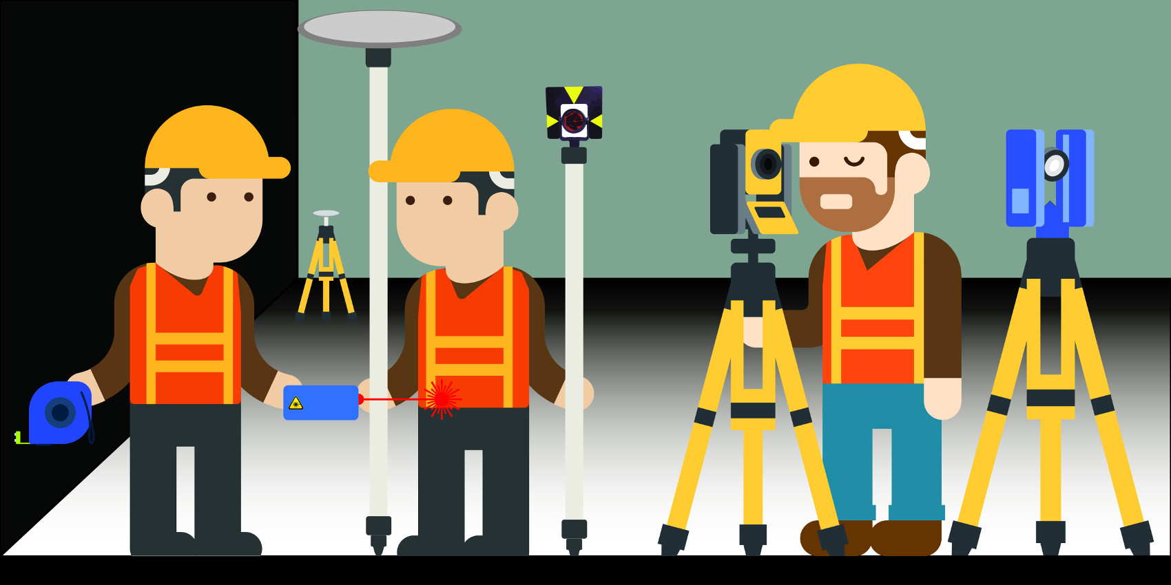
Surveying is often a cause for discussion since a wide variety of measurement techniques can be used. Each method of measurement comes with advantages, disadvantages and requirements in terms of time and personnel used.

Survey by Measuring Tape and Laser Distance Meter (Direct Measurement)
The survey by metric roll and laser distance meter involves measuring the distances that constitute, for example, the length and width of a room, the offset of the fixture from a wall, the diagonals of a room, etc. The joining of the various measured areas into a single floor plan is done through transition elements between one room and another. In this type of surveying, it is advisable to collect distances that cross several rooms, so as to have a confirmation of the sums of partial measurements; this also makes it possible to avoid the accumulation of errors and aim for a determinable overall surveying accuracy. One of the weaknesses of this type of technique is definitely accuracy in the case of multi-story surveys since the walls may not be completely vertical and one cannot always assume that the perimeter walls are completely congruent when viewed from above. This type of survey is recommended for small measurements, for corrections of existing floor plans, and for amateur use of surveying.
Surveying by Total Station and Direct Measurement
Surveying by Total Station means targeting points, which shown on the plan must then be joined to generate the silhouettes. In case of interior surveying, it is definitely the recommended methodology for complex properties. The use of the Total Station needs topographical support as points need to be materialized on site and then they can be used not only for the first plan survey, but also for a correct overlay of the as built plan survey.
The survey done by Total Station can also be used to correctly determine the location of specific points from which we can measure simple geometries by the direct method (Metric Tape and Laser Meter), so that this direct survey is constrained by specific points and can find redundant feedback.
This method, if used correctly, allows for an assessment of overall surveying accuracy but does not allow for rapid execution since it is necessary to anticipate all measurements to be taken manually. Skipping a measurement may mean having to return to the site.
Laser Scanner Surveying
Surveying by 3D Laser Scanner allows operators to focus on the scene: one has to place the scanner in multiple positions so that it can capture everything that matters in the measurement or everything that is visible unless there are special impediments; often the difference between the two is so minimal that one tends to lean toward the second option without asking too many questions.
Each position generates a point cloud; the union of the different scan clouds are connected by a procedure called registration and can be based on homologous points or known points.
We talk about homologous points and “Cloud to Cloud” registration when there are points in the cloud to be registered that are visible in another cloud already registered through a method or considered already registered. On the other hand, we speak of known points and “by Known Points” registration when there is topographical support or another method from which to derive the coordinates of the points.
Topographic support is recommended in the case of complex surveys and where an improvement on the overall accuracy of the survey is desired; it allows, among other things, rigorous verification (closed polygonal) and error mitigation through compensation. To complement this technique, a topographic polygonal should be established before scans begin, from which the coordinates of Known Points visible from the scanner in the form of targets should be determined. A single target can be seen by multiple scans, the important thing being that each scan sees at least 4 of them.
Topographic support increases processing time but avoids the use of cloud-to-cloud registration by increasing the overall accuracy of the survey.
Here is a comparison of the PRO’s and CON’s of Surveying with Laser Scanner technology versus Surveying with Direct Measurement and performed with Total Station alone.
| PRO | CON |
| quick data acquisition | high initial investment |
| No risk of having to return to the site to integrate new measures | Fairly steep learning curve relative to techniques and software |
| Determinable and high overall accuracy of the survey | Higher post-production times |
| Shorter campaign times i.e., lower travel costs | Narrower range |
From this table, we can say that the Laser Scanner performs better where the area being measured is narrow and where it is preferred to tighten the campaign time even if this should result in longer post-production time in the office, a condition compatible with employee traveling.


