-
Pioneers in GPS Surveys
When we started the surveying business the instrumentation did not include many features that later, over time, became an integral part of both the equipment and software and the standard work process. This means that all the comfortable features applicable to surveys done with Total Station, could not be applied to surveys done with GPS.…
-
GESI flying high
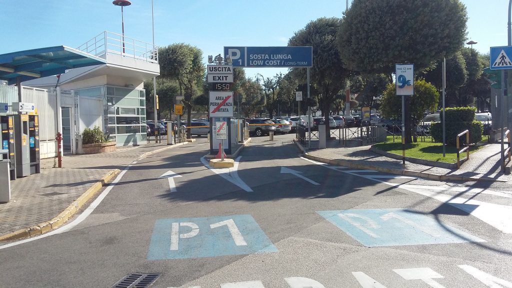
We have been a bit out of the stage these past few months, but we are sure you will forgive us for this short break! We were hard at work improving services in our city. The story of these past few months has taught us that working professionally and passionately always pays off to the…
-
CIRo 13 – our Iterative RObo-Camera!
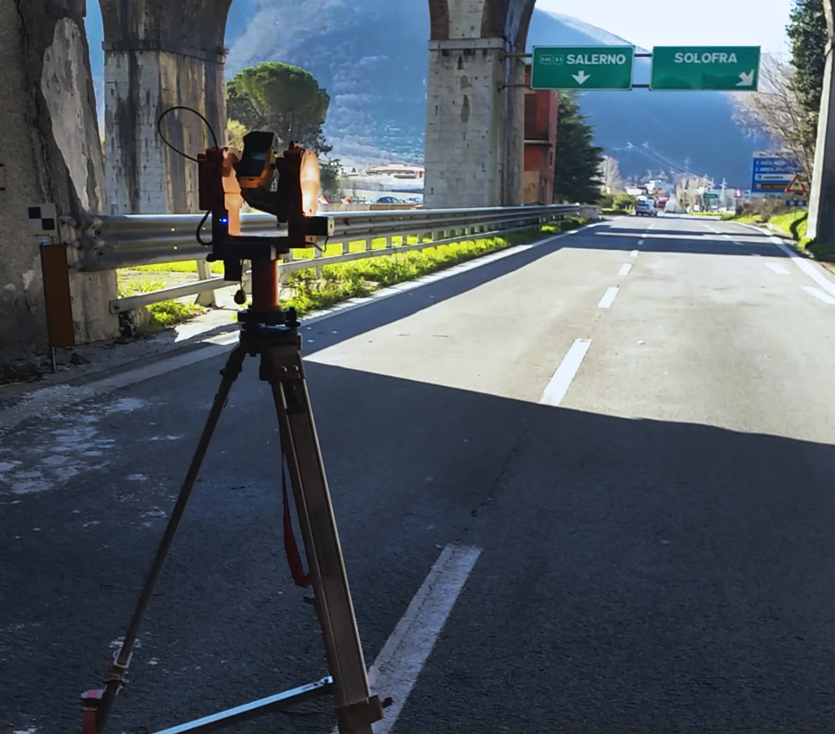
Every self-respecting professional or company has some tricks up his sleeve and if the market does not offer them, someone has to come up with that. This happens because, every tool you work with has been developed to face specific situations, in specific contexts. This is the reason why, if necessary, a companies or a…
-
GESI is multitasking!

January has always been the month of innovations, we restarted with a new site and many great projects! GESI can be defined as a multitasking company: we operate in various fields, last year we accepted lot of challenges. Let’s analyze our topographical field, accounting improvements made in our home sector. We improved photografic details of…
-
Experience in Geodetic Grids

One of our strengths is our experience in Geodetic Grids and in the establishment of geodetic vertices, in the materialization of Precision Cornerstones for the constitution of stable geodetic grids to be used for the support of large-scale Topographic Surveys. During our career, we have faced large-scale measurements several times, specializing in the field of…
-
Topographical Surveys with Hard Calculations

One of our strengths is the use of advanced but old-school style tools! We changed the way we use instruments and software so that we still have full control of the data acquired in the field: we still develop polygonals, we don’t let the instrument and its software kit do everything! Topographic surveying techniques are…
-
Developing Solutions in the Topographical Field

In the course of time we have developed solutions in the shape of accessories, tools and algorithms to optimize our performance, sometimes being ahead of the market. Here are some examples. Tools Overview Head We have developed and produced a panoramic view head so that it complements the Panoramic Head we already have. This new…
-
Knowledge of Topographical Equipment

The knowledge of a various and manifold Equipment, allows to solve any kind of issue found in the field. By working every day with multiple teams, on multiple fronts, we have enriched our equipment. Working on the most different fronts, has forced us to face any need by purchasing accessories and instrumentation: from 5-meter rods,…
-
16 reasons why GESI developed CloudDesigner
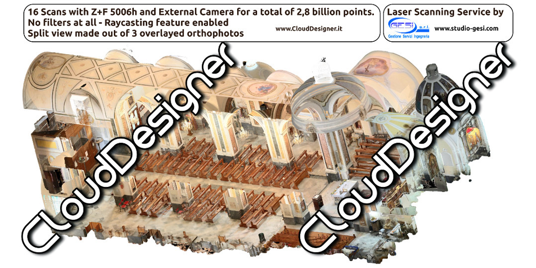
CloudDesigner is the Laser Scanner application developed by Laser Scanner users. Full Story Back in 2013, GESI purchased the best laser scanner on the market, a Z+F 5006h. Despite the large investment of resources, the software purchased to accompany it fell far short of expectations. Data processing times were interminable and procedures were far from…
